Lab 10
 |
| Figure 1: First half mission setup |
 |
| Figure 2: Second half of mission setup |
 |
| Figure 3: MGC Airmap |
 |
| Figure 4: Purdue campus Airmap |
 |
| Figure 5: Purdue Wild Life Area Airmap |
 |
| Figure 6: MGC Airmap site exploded view |
 | ||
Figure 7: MGC Airmap site close view
|


 |
| Figure 10: MGC app finalized mission adjustments |
Lab 9


Lab 8


Lab 7


Lab 6


Lab 5


Lab 4
 |
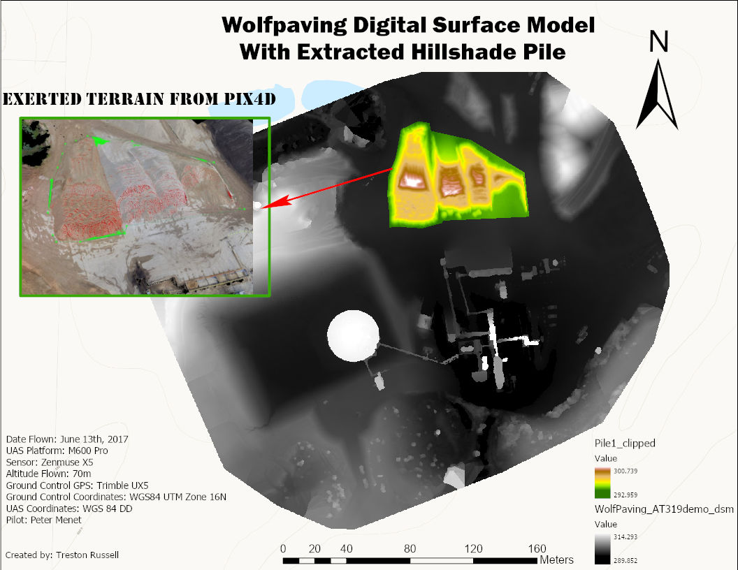
| Final Hillshade Map |
 |
| Final Orthomosaic Map |
Lab 3
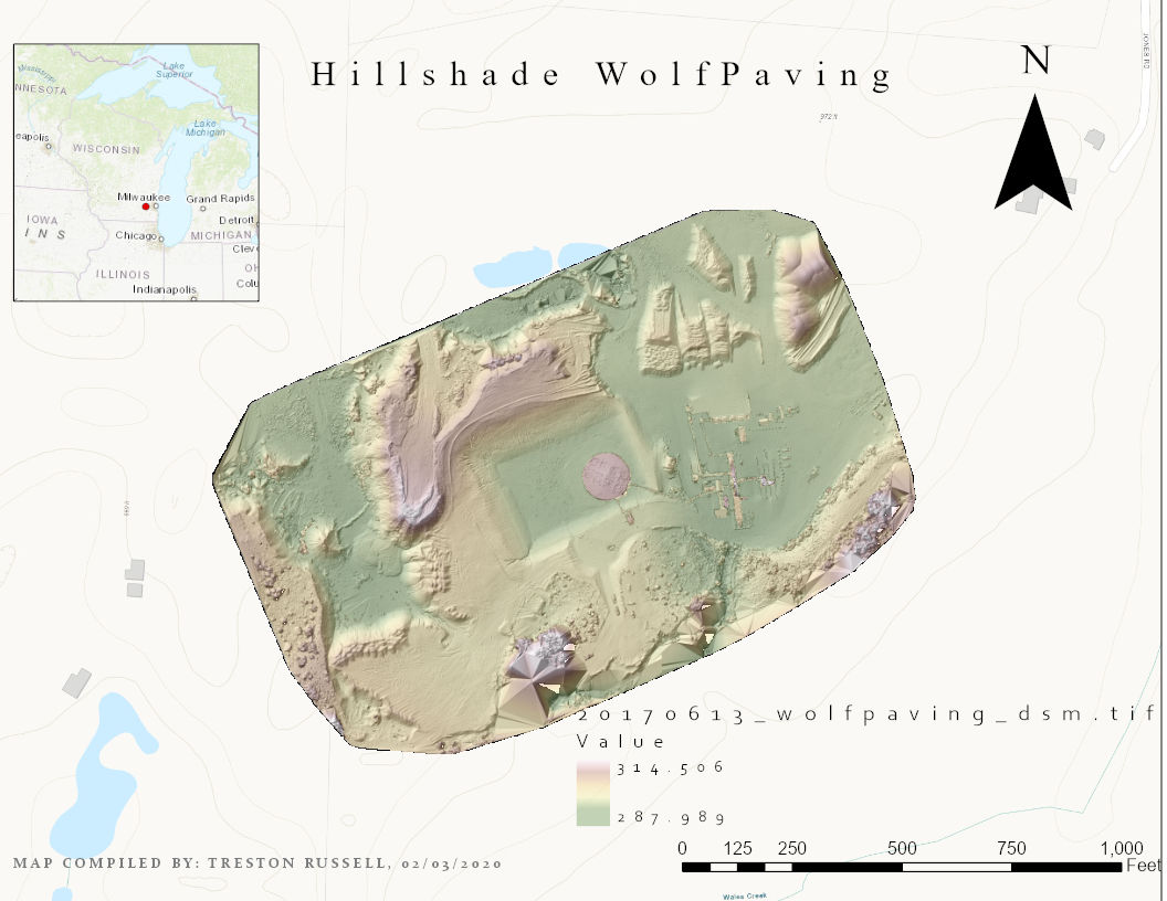 |
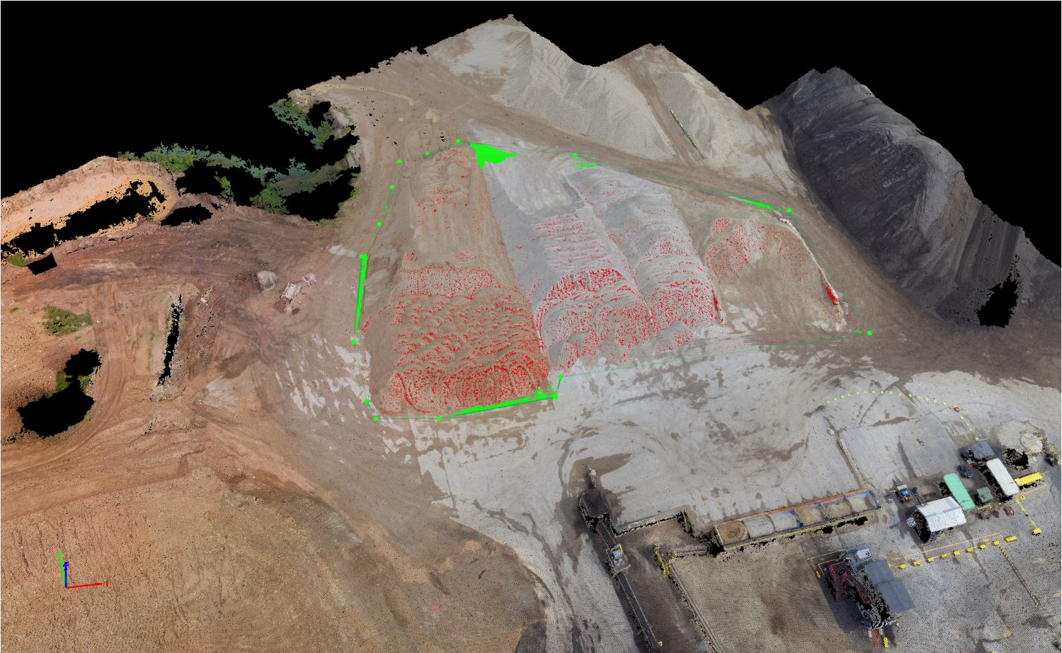
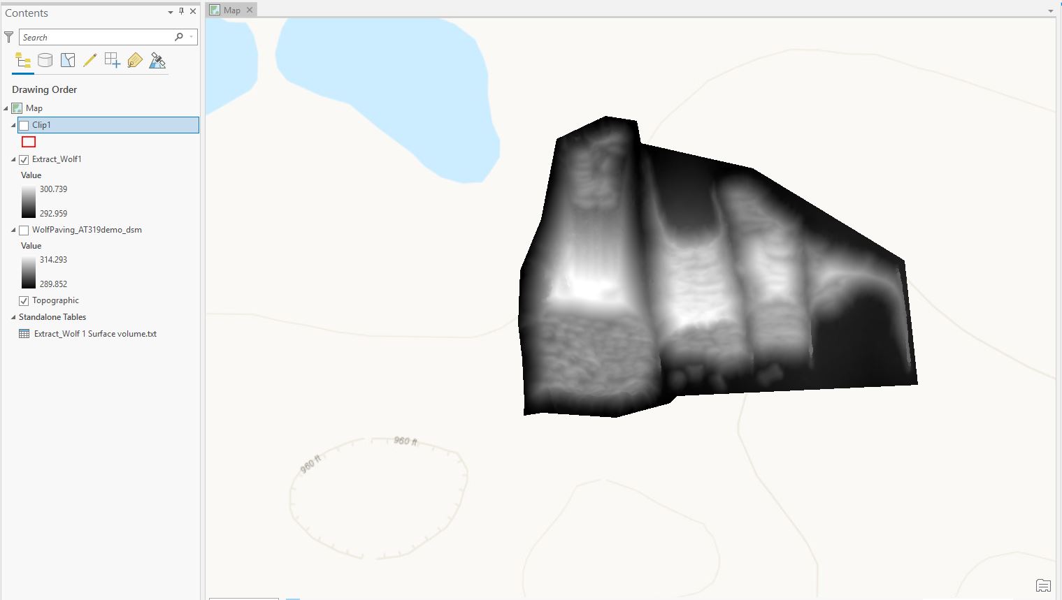
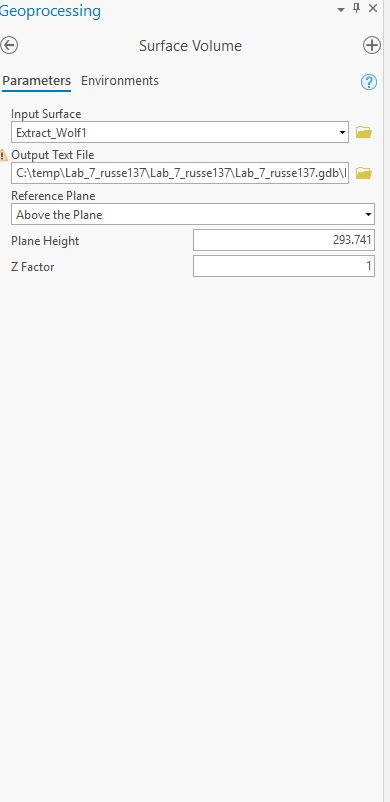
| Hillsade of Wolfpaving |
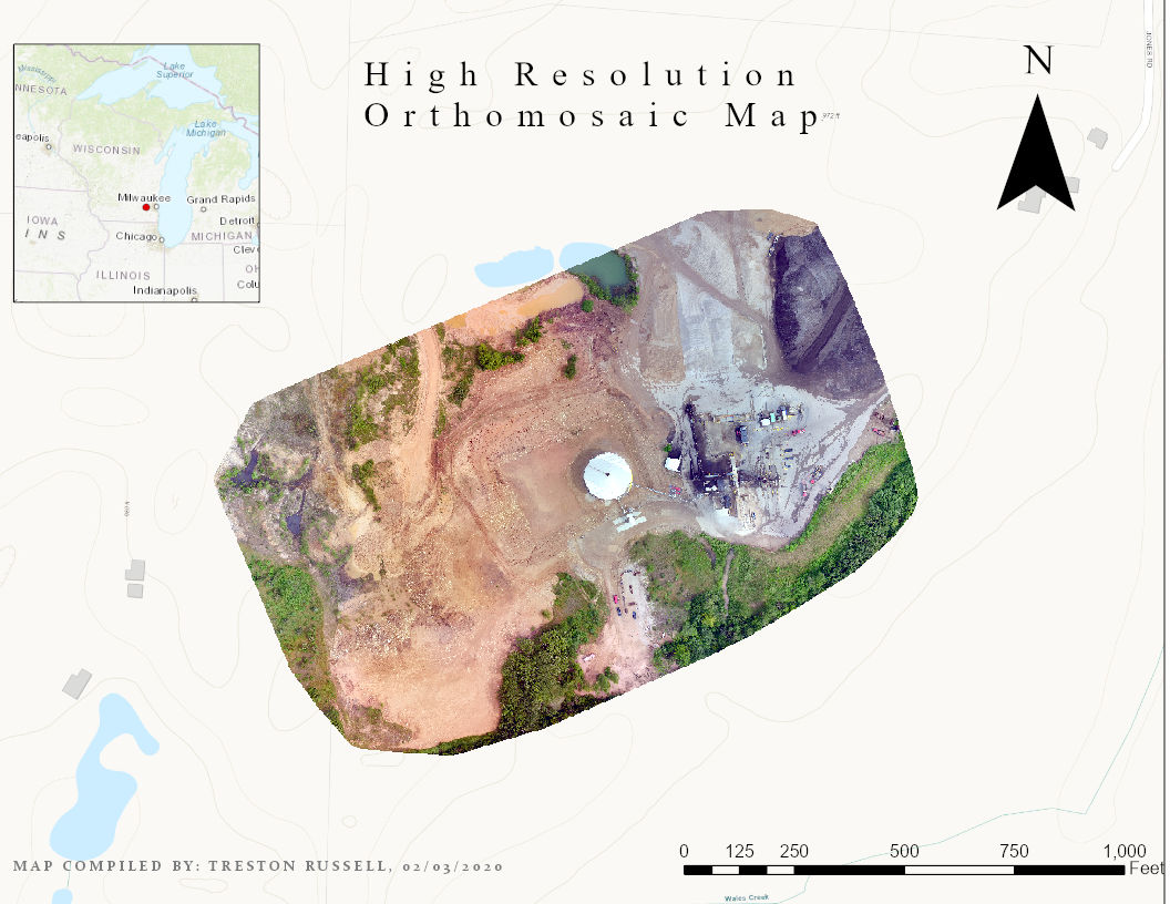 |
| High Resolution Orthomosaic Map |
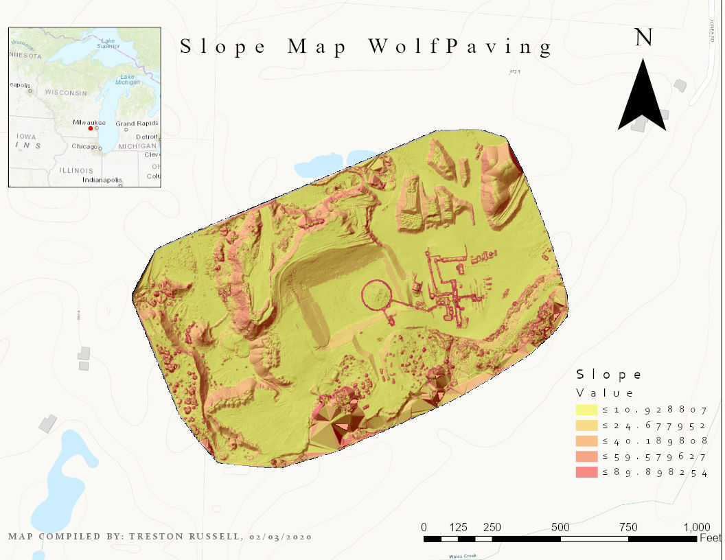 |
| Slope Map of Wolfpaving |
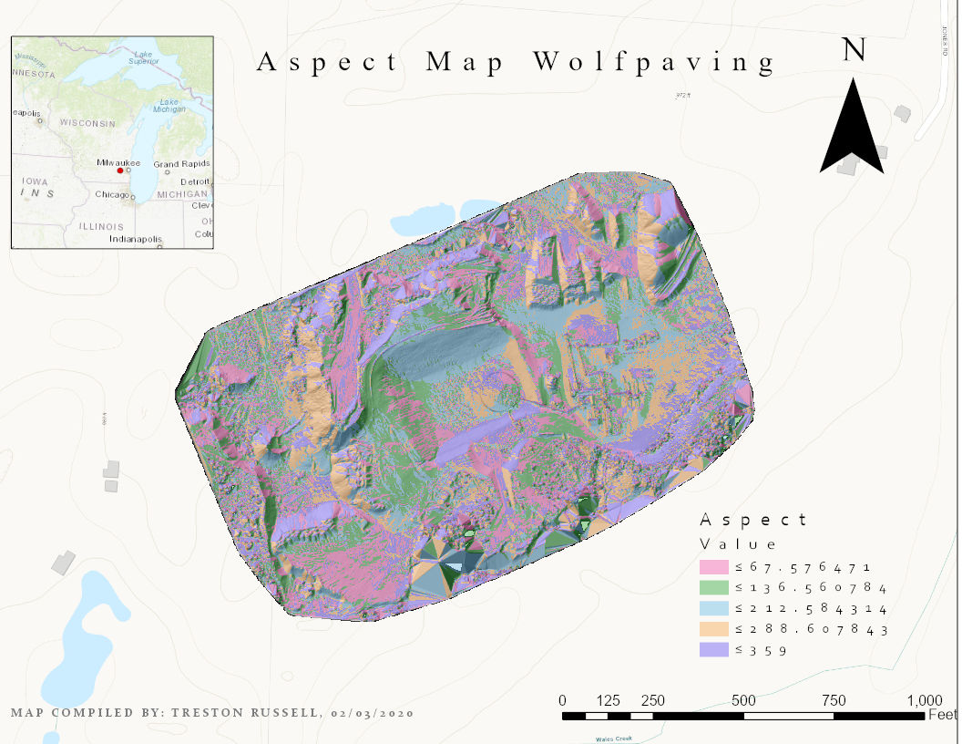 |
| Aspect Map of Wolfpaving |
Lab 2
 |
| Rondonia imagery basemap of Lab 2 |
 |
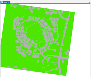
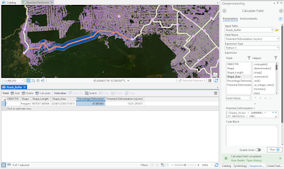
| Roads after Geoprocessing of Lab 2 |
 |
| Proposed road of lab 2 |
 |
| Proposed road development of Lab 2 |
 |
| Final road design of Lab 2 |
 |
| Final Map Product of Lab 2 |
No comments:
Post a Comment