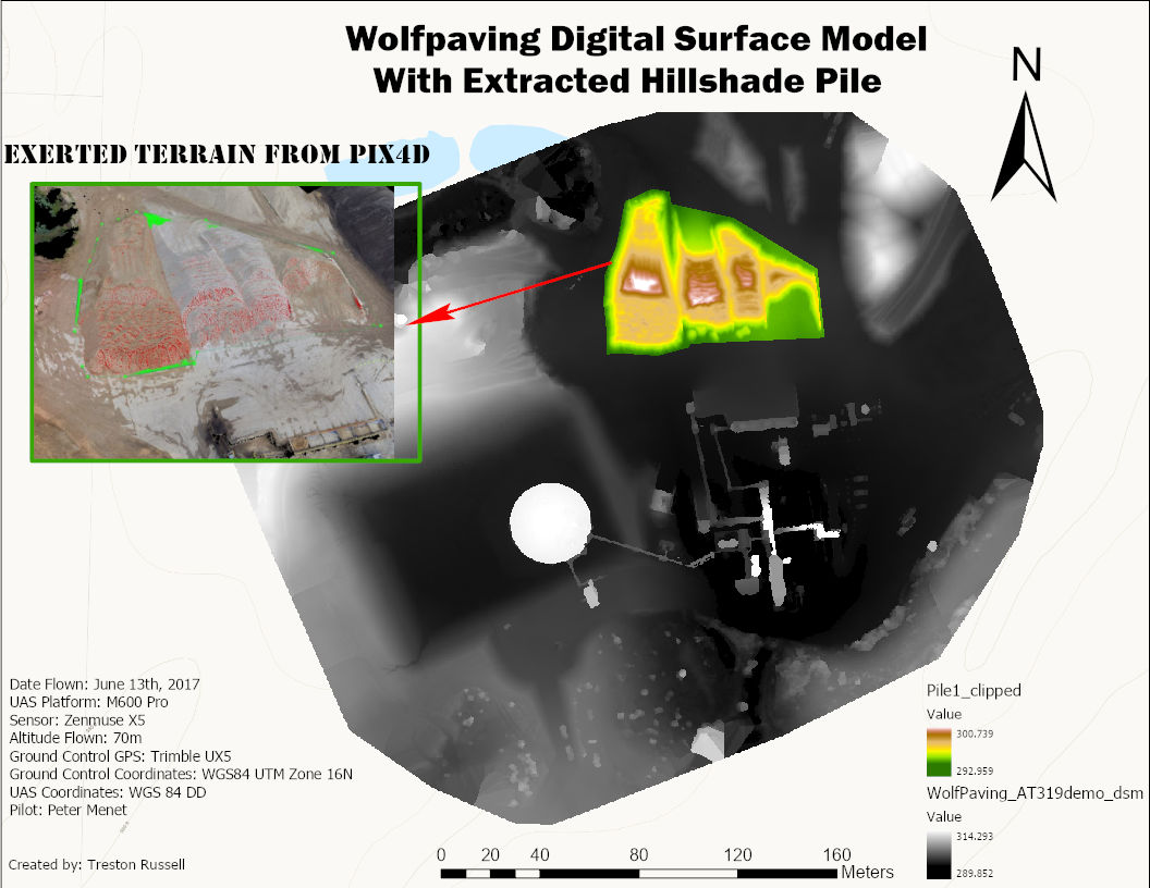
AT 409: Field Report Week 5
Aaron Varnau, Treston Russell, Tristan Bungen
Class Lab Report:
The lab for this week was conducted at Martell forest. The mission was to survey the
northeastern plot of the property, and become certified on operating the M600 alone for future
operations outside of class time. Flight crew roles were assigned as follows: Aaron as PIC,
Tristan as SO, and Treston as VO. The mission was conducted smoothly, with the help of the
checklists and the crew’s flow of communication. This communication was put on display by the
PIC’s callouts of clearing props for take off, the switch from manual control to autonomous flight,
elevation, and battery percentage. This communication helped the flight crew operate safely
when manned aircraft hugged the border of the research area. Two aircraft were spotted and
watched to be sure the mission was not going to become an unsafe operation. Once the
mission finished, the aircraft was manually landed by the PIC and packed up following the pack
up procedures. After the flight our SO, Tristan, went back to the lab and processed the data
collected. On Friday, we took the M600 out alone for an additional flight.
Hardware:
M600, PPK, Flight Pad, Sony A6000, Zenmuse XT2, Ipad
Software:
Measure App
Human Factor:
Our crew was cleared to fly on Tuesday while being observed by Dr. Hupy and Zach. We were
familiar with our checklists and ran through with only a couple questions for our observers to
make sure we were doing okay. Our flight was successful and we demonstrated good crew
resource management skills and knowledge.
MetaData
General:
Location: Martell Forest, Northeast Plot
Date: 9/25/20
UAS: M600
Sensor: Zenmuse XT2, PPK
Camera: Sony A6000
Batteries: Yellow
Flight Information:
Flight Attempt Takeoff Time: 10:46 a.m.
Flight Attempt Landing Time: 11:07 a.m.
Max Altitude: 508 ft
Flight Altitude: 500 ft
Return to Home: 262 ft
Max Distance: Disabled
Loss of RC: RTH
Shutter Speed: 1/4000
Aperture: F3.5
Iso Setting: Auto
Dial Setting: Shutter Priority
Lens Setting: Infinity Focus, F-3.5
Weather:
Temp: 66 degrees
Humidity: 62%
Precipitation: 10% chance
Wind: 5mph
Clear Skies, Great Visibility, Cirrus
Crew:
PIC: Aaron Varnau
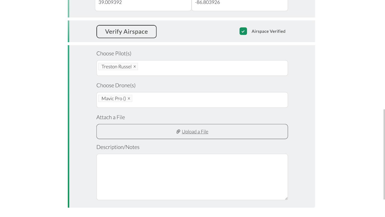
VO: Treston Russell
Submitter: Tristan Bungen
Aircraft Sightings
● East of mission area on 4th leg
● East of mission area on 12th leg
Weekly Crew Flight Report:
This mission was completed on September 25th. The flight crew met up in the lab in NISW
around 3 P.M. We went through the necessary checklists to set up the M600 for our mission at
Martell Forest. When we attempted to fit the entire M600 with its hard case we were unable to fit
it into any of our vehicles. Kaleb cleared us to take what we needed from the M600 case and set
the drone in the back seat of Aaron's car. With Aaron as PIC, Tristan as Sensor Operator, and
Treston as Visual Observer we went through all 3 checklists given to us for the M600. We safely
put the drone together and set up the flight on Measure. As we started our flight we ran into
some issues. As we started the autonomous flight plan, measure crashed and the drone stood
still in its flight path. We were able to take control of the M600 manually and land the UAS. We
investigated and found out that the Measure app started updating itself during the flight because
we were connected to Treston’s hotspot. It was an unavoidable accident that we handled very
well. After we landed the aircraft, we changed the M600’s batteries from yellow to pink and
switched the PPK battery as well. We then proceeded to go through the checklist once more
before flight. We completed the Northeast plot with no problems. We then packed up the UAS
using the post flight checklist and made sure everything was properly in its place. We then
drove back to NISW and charged batteries and returned all supplies. Since our mission took so
long at Martell I had to leave for my job and was unable to pull the data from the SD cards and
into the data dump. I asked Zach if he would do it for me and he agreed so it was resolved. That
concludes the report for our flight of the Northeast plot at Martell Forest.
Hardware:
M600, Extra Battery Case, PPK, Flight Pad, Sony A6000, Zenmuse XT2, Cellphone
Software :
Measure App, Phone Wifi Hotspot
Human Factor:
Our crew’s communication and teamwork skills were tested and proven on Friday when we
experienced an unexpected problem with Measure. About halfway through the flight, the M600
stopped flying its grid path and simply hovered in place. Measure had to some extent crashed
and decided to run through the preflight checklist without also cancelling the current flight.
Obviously, the preflight checklist failed as the aircraft was several hundred feet in the air on the
other side of the plot from its home location. It didn’t return home because Measure hadn’t
aborted the previous plan and somehow that plan was still running in the background. Our crew
decided to manually return and land the aircraft but experienced a massive problem: the landing
gear would not come down. The batteries were running low (~35%) and we did not know how to
solve this issue. We tried a few basic things such as pressing the physical home button on the
transmitter but none worked, so we called our classmate Kaleb Gould who successfully
coached us through the issue. We switched the flight mode on the transmitter and reset
Measure. This actually led to an accidental solution and clue as to what crashed Measure; the
app needed to update and already started to install the new version during use. The app quickly
updated and we went back in and opened the flight plan. This caused the landing gear to go
down and we were able to manually land the aircraft.
This was a very stressful situation for our crew, and was certainly a bonding experience. Our
visual observer constantly updated the crew on the status of erratic flight and the sensor
observer searched for Measure solutions online and called Kaleb as the pilot maintained the
aircraft’s flight. All three of us played important roles and did so without projecting our stress and
frustration onto our crewmembers. To add a cherry on top, a manned aircraft flew directly over
the plot five minutes after we landed and was so low it looked to be below 500 feet. We have no
doubts that it could have crashed into the M600 without manual takeover.
MetaData
General:
Location: Martell Forest, Northeast Plot
Date: 9/25/20
UAS: M600
Sensor: Zenmuse XT2, PPK
Camera: Sony A6000
Batteries: Yellow, Pink
Flight Information:
Flight Attempt 1 Takeoff Time: 4:43 pm
Flight Attempt 1 Landing Time: 4:55 pm
Flight Attempt 2 Takeoff Time: 5:14 pm
Flight Attempt 2 Landing Time: 5:34 pm
Max Altitude: 508 ft
Flight Altitude: 500 ft
Return to Home: 262 ft
Max Distance: Disabled
Loss of RC: RTH
Shutter Speed: 1/4000
Aperture: F3.5
Iso Setting: Auto
Dial Setting: Shutter Priority
Lens Setting: Infinity Focus, F-3.5
Weather:
Temp: 82 degrees
Humidity: 38%
Precipitation: 0%
Wind: 4 mph
Clear Skies, Great Visibility, Few Clouds
Crew:
PIC: Aaron Varnau
VO: Treston Russell
Submitter: Tristan Bungen
Aircraft Sightings:
● Small aircraft south, 1st leg
● Small aircraft south, 3rd leg
● Aircraft east, 4th leg
● Aircraft south, 7th leg
● Aircraft south, 9th leg